Key Takeaways
- Photogrammetry builds a 3D model from overlapping photographs, while laser scanning (LiDAR) measures distance directly with pulses of light — one infers geometry from images, the other measures it.
- Photogrammetry maps what the camera can see, so it struggles under the live oak canopy and marsh grass common across Acadiana. Multi-return LiDAR can find gaps in vegetation and model bare earth beneath it.
- For open, well-lit sites — graded pads, stockpiles, subdivisions, pipeline corridors — aerial photogrammetry usually delivers the most site detail per dollar.
- Neither method replaces a licensed boundary determination. Remote sensing captures surfaces and features; property corners still require records research and a sealed plat from a Louisiana Professional Land Surveyor.
Laser Scanning vs Photogrammetry: What Is the Difference?
Laser scanning measures a site directly by firing laser pulses and timing their return, producing a point cloud of measured distances. Photogrammetry produces a point cloud indirectly, by processing dozens or hundreds of overlapping photographs and calculating where each feature must sit in three-dimensional space. Both end in similar deliverables — a point cloud, a surface model, contours — but they arrive there by very different routes.
That difference in method drives every practical decision that follows. An active sensor that makes its own light works in shade and low sun angles, and it can register multiple returns from a single pulse. A passive camera depends entirely on what is visible and well-lit, but it captures color, texture, and photographic context that a bare point cloud cannot show. Choosing between them is less about which technology is better and more about what your site looks like and what the deliverable has to prove.
How Aerial Photogrammetry Works on Louisiana Sites
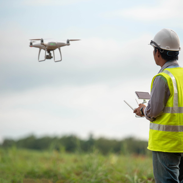
Aerial photogrammetry in Louisiana typically means a UAS flying a preplanned grid over the site, capturing images with heavy overlap — commonly around 70–80% along the flight line and 60–70% between lines. Structure-from-motion software then matches shared features between photos, reconstructs camera positions, and generates a dense point cloud, an orthomosaic, and a digital surface model.
Accuracy hinges on two things: ground sample distance, which is set by flight altitude and sensor, and ground control. Surveyed ground control points, established with RTK GNSS receivers and placed across the site, are what tie the photogrammetric model into a real coordinate system and keep it from drifting or bowling at the edges. Skip the control and you get a model that looks convincing and measures poorly.
Where Photogrammetry Earns Its Keep
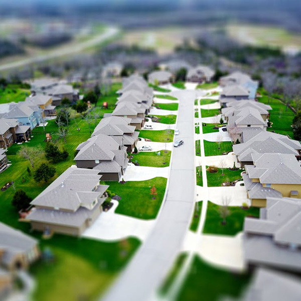
On open ground, the economics are hard to beat. A single flight over a graded subdivision pad in Youngsville or a laydown yard in Broussard can produce a complete topographic surface plus a georeferenced aerial image in a fraction of the time a ground crew would need to walk the same acreage.
- Volume calculations — stockpiles, borrow pits, and cut-and-fill quantities, recomputed from a fresh flight whenever the numbers need updating.
- Construction progress documentation — a dated visual record that a point cloud alone does not give you.
- Corridor mapping — pipeline routes, canal banks, and access roads, where the area is long and narrow and largely unobstructed.
- Sites that are hazardous or awkward to walk — active work zones, steep batters, soft ground after rain.
How Laser Scanning Captures a Site
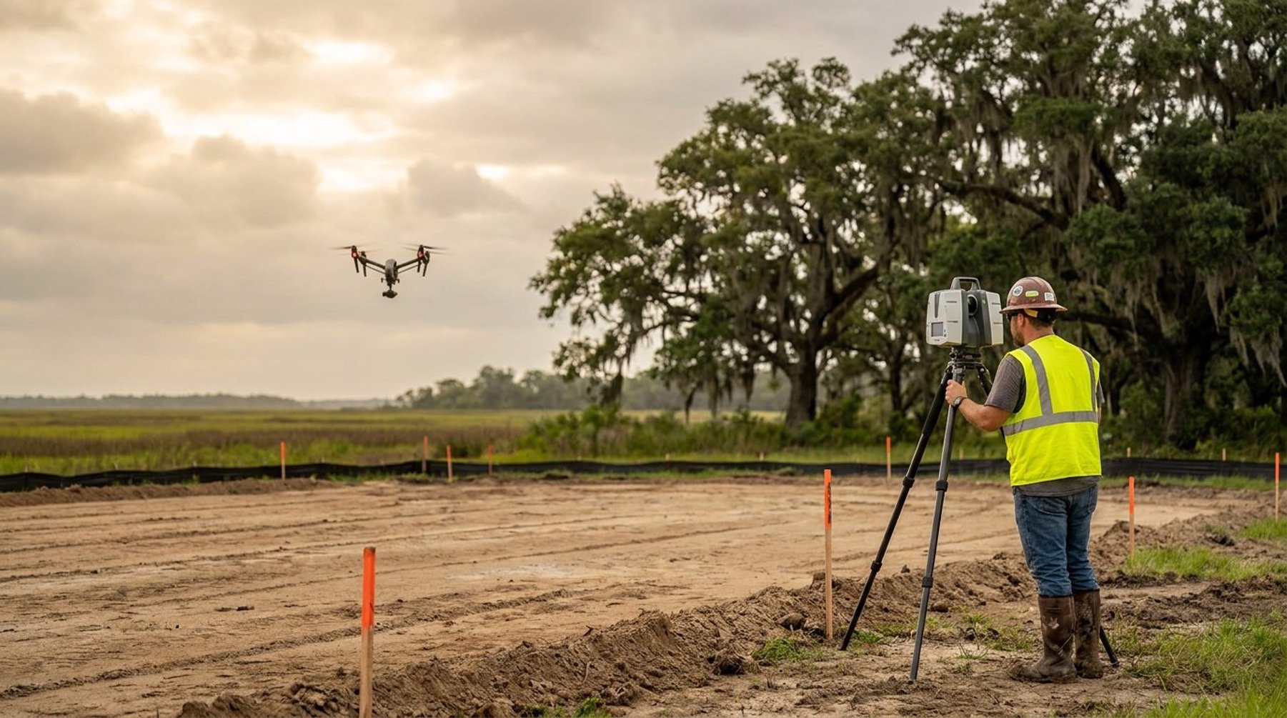
Laser scanning sweeps a site with rapid laser pulses and records the distance and angle to every surface that returns one, building a point cloud at a rate of hundreds of thousands to millions of points per second. It is deployed two ways in survey work: terrestrial scanning from a tripod for detailed built environments, and airborne LiDAR mounted on aircraft or larger UAS for terrain.
Because the scanner supplies its own light, it works at dusk, in shadow, and inside structures — conditions that defeat a camera. It also captures fine geometric detail on complex surfaces, which is why terrestrial scanning is the standard approach for as-built documentation of industrial piping, tank batteries, and processing equipment across the Gulf Coast.
Why Multi-Return Matters Under an Acadiana Canopy
A single laser pulse can produce several returns — some energy reflects off leaves and branches while the remainder continues through gaps to the ground below. Processing software classifies those returns and separates vegetation from bare earth, producing a digital terrain model where photogrammetry could only ever give you a canopy surface.
In South Louisiana this matters more than it does in most of the country. Wooded parcels, cypress stands, sugarcane, and dense marsh grass cover a great deal of the ground that clients need elevations on, and elevation data drives drainage design, fill quantities, and flood-related decisions. If the deliverable depends on the ground surface and the ground is hidden, LiDAR is usually the honest answer.
Accuracy Compared: What Each Method Delivers
Under favorable conditions with properly surveyed ground control, well-flown photogrammetry and LiDAR land in broadly the same accuracy range for topographic mapping — good enough for design contours on most sites. The methods diverge sharply once conditions stop being favorable, and that divergence, not the headline accuracy number, is what should drive the decision.
Consider what degrades each one. Photogrammetry suffers from vegetation, deep shadow, flat or reflective surfaces with no texture for the software to match, moving water, and inconsistent light. Laser scanning is less sensitive to all of those, but it carries its own constraints: higher equipment and processing cost, heavier data volumes, and no inherent photographic record unless imagery is captured alongside it.
One point deserves emphasis. Vertical accuracy is almost always the harder specification to meet, and it is the one that matters for drainage, pad elevations, and flood-related work. A model that is horizontally excellent can still be vertically unusable if control was thin or vegetation was misclassified — which is why the processing and verification a licensed surveyor performs matters as much as the sensor that collected the data.
Cost, Turnaround, and Choosing for Your Site
Aerial photogrammetry is generally the lower-cost option per acre, because the hardware is less expensive and the field time is short. Laser scanning costs more to deploy but can save money overall when it prevents a return trip, captures detail a camera cannot resolve, or gets ground elevations that would otherwise require a crew cutting line through brush.
A practical way to choose is to describe the site honestly before choosing the tool:
- Open and cleared — photogrammetry, with surveyed control.
- Wooded, overgrown, or marsh — LiDAR, or conventional ground survey on smaller parcels.
- Complex structures, piping, or interiors — terrestrial laser scanning.
- Needs a visual record for the owner or a permit file — photogrammetry, or LiDAR paired with imagery.
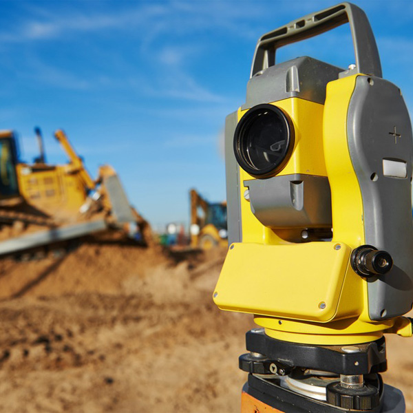
- Tight vertical tolerances over a small area — ground survey with a robotic total station, often supported by aerial data for context.
Weather is the quiet variable in this region. Flights need reasonable wind and usable light, and Gulf Coast afternoons in summer cooperate less often than clients expect. Pioneer Surveying works across Lafayette Parish, New Iberia, Opelousas, and the surrounding Acadiana region, and will recommend the capture method that fits the site rather than defaulting to whatever flew last week. You can see the full range of surveying services available for your project.
Commercial drone work is also regulated. Operators must hold a Remote Pilot Certificate under FAA Part 107, which sets requirements including a 400-foot altitude limit above ground level and visual line-of-sight operation. Airspace near Lafayette Regional Airport and other controlled areas requires authorization before flight — a scheduling factor worth raising early on projects close to an airfield.
What Remote Sensing Cannot Do
Neither laser scanning nor photogrammetry determines a property boundary. Both capture the physical surface of a site — where the fence is, where the pavement ends, how the ground falls — but a boundary is a legal conclusion drawn from deed research, found monuments, prior surveys, and the professional judgment of a licensed surveyor. A drone can photograph a fence precisely and still tell you nothing about whether it sits on the line.
The same applies to anything requiring a seal. Plats, elevation certificates, and FEMA submittals are professional instruments signed by a Louisiana Professional Land Surveyor. Aerial and scanning data feed those products; they do not substitute for them. Our blog covers the differences between boundary, topographic, and ALTA surveys in more detail if you are still working out which deliverable your project needs.
Frequently Asked Questions
Is LiDAR more accurate than photogrammetry?
Not automatically. On open, well-lit ground with proper surveyed control, both methods produce topographic data in a similar accuracy range. LiDAR pulls ahead where conditions work against a camera — under vegetation, in shadow, in low light, or on textureless surfaces — because it measures distance directly instead of inferring geometry from photographs.
Can drone surveying see through trees?
Camera-based drone photogrammetry cannot. It maps the top of the canopy, not the ground beneath it. LiDAR can partially penetrate vegetation because a single pulse produces multiple returns, and processing software separates ground returns from foliage. Heavy, unbroken canopy limits even LiDAR, and in those cases a ground crew may be the reliable option.
When is aerial surveying better than ground surveying?
Aerial methods win on large, open, or hazardous sites where covering the area on foot would take days — subdivision pads, stockpiles, pipeline corridors, and active construction sites. Ground surveying remains better for small parcels, boundary work, construction staking, and anywhere tight vertical tolerances or obstructed sightlines make a flight impractical.
Do I need ground control points for a drone survey?
For survey-grade results, yes. Ground control points established with RTK GNSS anchor the aerial model to a real coordinate system and hold its accuracy across the site, particularly in the vertical. Without control, a photogrammetric model may look correct while containing systematic error that makes it unsuitable for design or quantity work.
What deliverables come from laser scanning or photogrammetry?
Typical deliverables include a classified point cloud, a digital terrain or surface model, contours at the interval your engineer requires, and CAD files ready for design. Photogrammetry adds a georeferenced orthomosaic image of the site. The specific format should be confirmed with your design team before capture so the data arrives usable.
Choosing the Right Capture Method for Your Project
The best survey technology is the one matched to your site conditions and your deliverable, and that decision is worth ten minutes of conversation before anyone mobilizes. If you have a project in Lafayette, Broussard, Scott, or anywhere across South Louisiana and you are weighing aerial photogrammetry against laser scanning, call Pioneer Surveying at (337) 443-0955 or reach out through our contact page for a scope-based recommendation and quote.